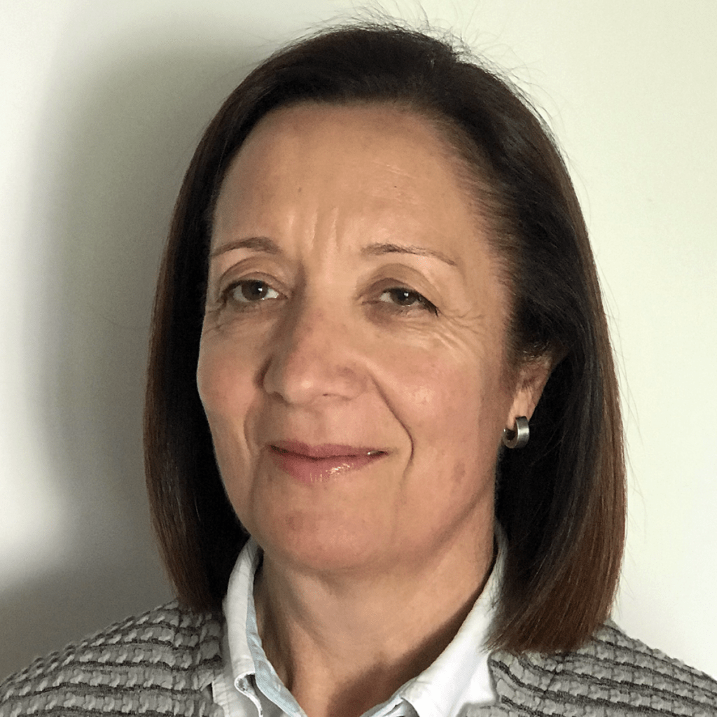
Joana Fernandes holds a PhD in Remote Sensing by UCL, University of London, UK. She is an Assistant Professor at the University of Porto, Faculty of Sciences (FCUP), where she has been teaching courses on fields such as Remote Sensing, Geodesy and Hydrographic Surveying. Director of the PhD in Surveying Engineering of FCUP from 2012-2017. Her research is mainly in the field of Satellite Altimetry with focus on coastal altimetry and altimetry over inland waters, range and geophysical corrections, in particular the wet tropospheric correction. Leader of the Portuguese team in several research projects, mostly funded by ESA, such as, COASTALT, CP4O, Sea Level CCI, SCOOP and SHAPE.
Website by: Glitz Design